Best Low Altitude Helicopter Aerial Photography
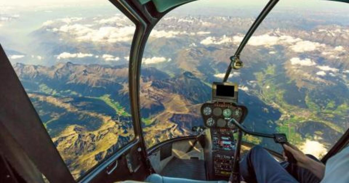
Peaks View prides itself on delivering the best low altitude custom helicopter aerial photography in St. Louis MO. When conducting your aerial photo flight we will shoot a minimum of 16 high resolution (22.3 Mega-Pixel) photographs on the first orbit around your site. These photographs will document the entire site and include a couple of close-up shots of key details. Need additional photos and a wide range of perspectives?
No problem, just add additional orbits to your flight request. Image quality is our top focus! All images are digital retouched to insure vivid colors, sharp details and high dynamic contrast for maximum impact. We will provide you with a beautiful portfolio of digital aerial imagery to showcase your project! A copyright license is included to allow you to utilize the images in your company’s internal/external reports or any public marketing/advertising. Also granted is reproduction rights which allow you to print “hard copies” of the digital photos at your local photo lab.
Request a quote online!
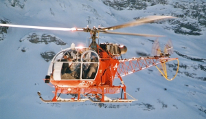
Peaks View’s aerial photography process differs from our competitors…
We avoid fixed wing aircraft which are restricted to flying above 1,000 ft.
We fly at lower altitudes to eliminate the dreadful rooftop shots, reduce altitude haze and improve image clarity, color and detail.
We avoid telephoto lenses which flatten depth of field and instead utilize wide angle lens to increases depth of field.
Low Altitude Aerial Benefits:
- Eliminates the dreadful rooftop shots
- Reduces altitude haze (St. Louis summer humidity)
- Improves image clarity, color and detail
- Increases depth of field by using wide angle lens
Services Offered:
- Free no obligation estimate (request a FREE quote)
- Low altitude oblique aerial photography of your site (under 500ft)
- Medium altitude oblique aerial photography for larger sites (500ft – 1,000ft)
- High altitude oblique aerial photography for 100+ acre sites (above 1,000ft)
- Vertical aerial photography (site footprint)
- GPS photo tagging with embedded EXIF latitude, longitude & altitude
- Digital image retouching to insure vivid colors & sharp details
- Copyright licensing of aerial imagery for advertising/marketing
- Multiple site pricing available
- Stock aerial photography of St. Louis, MO and surrounding counties
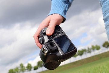
Camera System:
- Digital SLR: Canon 5D MKIII
- Image Resolution: 22.3 mega-pixel
- Image Aspect Ratio: 3:4
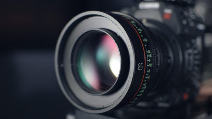
- Lenses: Professional Canon “L” series
- Stabilization: externally mounted Kenyon gyro