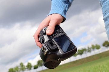
Best Survey Photography
All elements of a building survey can be enhanced utilizing our elevated survey photography services. Whether you are planning a new development, inspecting a roof or even settling a boundary dispute, our photographs can assist at every stage. Our photographs can be used to support planning applications, insurance claims or roof inspections. They can act as time lapse capture and provide high resolution images for marketing completed properties.

Traditional methods for surveying buildings can incur the expense and time required to erect scaffolding around the whole of the building. Elevated Mast Photography can reduce both of these issues through the use of high level images to provide a detailed survey without the need for any direct contact with the building or its immediate surroundings. This can be a major advantage in the case of those properties which are subject to deterioration due to their age, or vulnerability e.g. having experienced storm damage.
Planning
Elevated photography can provide images at different heights to convey an overall understanding of a site to aid gaining planning permissions for property developments. The images would typically convey a variety of aspects e.g. showing sight lines, demarcation, tree heights and highlighting privacy issues.
Roof Inspections
Mast roof photography services can produce a safer, faster and more cost effective method of obtaining close up photographs or video of hard to reach parts of buildings, such as the roofs. This can eliminate the need for ladders, scaffolding or costly cherry pickers to provide visual evidence of any structural damage or repair work necessary. Taking aerial shots, also minimizes the health and safety issues of moving around on potentially unstable roofs. The camera can be zoomed in remotely to any area of the roof to provide details for clients quickly on CD or as prints. In this way, specific areas can be seen from different angles so that the precise nature of any damage becomes more easily visible.
Construction
Time lapsed images, taken throughout the construction phase, can be used to photograph property developments, and completed properties can be photographed in detail to complement your marketing.
Land Development
Our high level photographs can be used to convey the full extent of any land being proposed for development. We can also use computer generated images to highlight boundaries and to demonstrate the capacity of the site in terms of potential builds and landscaping capabilities.
Insurance claims
Elevated Aerial Photography is probably the main cost effective way of gaining evidence to prove or disprove a claim. Our elevated high resolution images are used to record accurately the details of any claim which might not be obvious from the ground.
Boundary issues
Boundary disputes can be drawn out over significant periods of time and are very emotional for all those involved. We use professional expertise in the field of elevated mast photography to supply photographs taken from levels of up to 20m, thereby eliminating the need to obtain the right of access onto a claimant’s property. We can also use our portable 10 metre mast where necessary for access.